Kudzu is one of those things that seemed like a good idea at the time. It was introduced in the United States from Asia at the Philadelphia Centennial Exposition’s Japanese Pavilion in 1876, and in the South at the New Orleans Exposition in 1884-86. It seemed like a miracle plant. It was hardy and fast-growing, it tolerated poor soil, livestock liked to eat it, and it had a wonderfully fragrant flower. What could possibly go wrong? By the 1930’s, it was promoted as a livestock food for farmers to grow. By 1935 it was promoted as an erosion-control plant, and Soil Conservation Service nurseries began producing seedlings. According to the New Georgia Encyclopedia, between 1935 and 1942, Soil Conservation Service nurseries produced a hundred million seedlings. They were spreading this stuff everywhere.
By the 1950s, people were having second thoughts. Today it has been reported as an invasive species in states from the Deep South, as far up the Atlantic coast as Connecticut, and in Oregon and North Dakota.
And right here just down the street from us.
I, for one, do not welcome our kudzu overlords
Kudzu has a kind of mythic and yet comical status in the South. One of the Atlanta television stations had a news helicopter that used to routinely report on the various objects that kudzu was covering, from abandoned houses to old school buses. I suspect that it’s not so funny if it’s your property that the kudzu is invading.
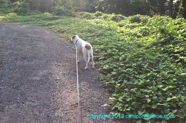
Look out Zeke!
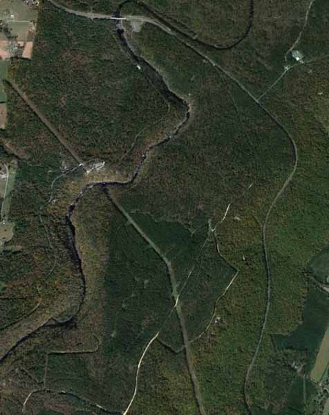
This is on Lavender Trail across Fouche Gap Road, where kudzu has covered several boulders that mark the edge of the road at the dead-end turnaround.
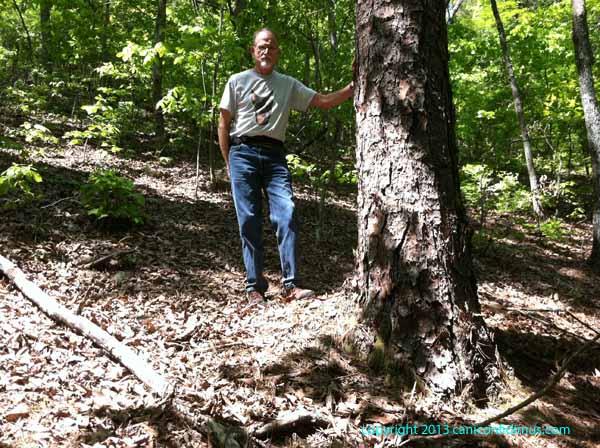
One of my uncles, since deceased, liked to tell tales. He had a small farm and was pretty familiar with farming. He said that kudzu was great food for cattle, but if you planted it in a field, although the cattle would eat it, it would eventually spread beyond the fence. He said the only way to safely plant kudzu was to put a fenced area within a cattle pasture and plant kudzu within that interior pen. The cattle would then eat any kudzu that tried to spread outside the pen. It was hard to know whether to take him seriously or not.
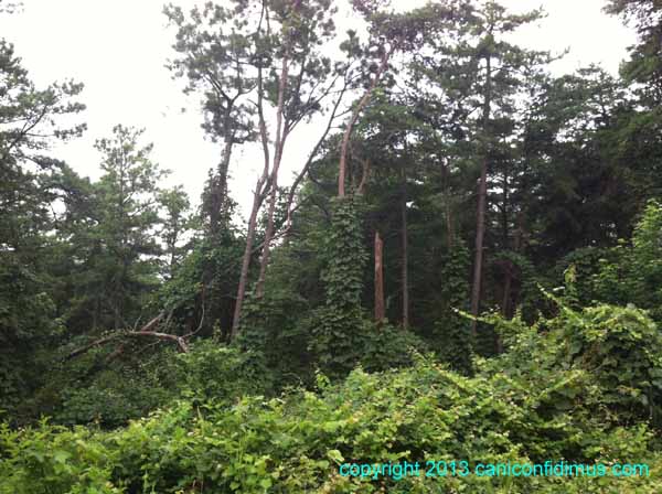
This is what can happen if kudzu is not controlled. I found this image online, but it’s not an uncommon sight around here.
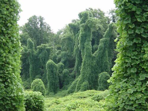
Online image of kudzu covering trees
The kudzu on the mountain was blooming this week. Kudzu blooms have a deep, strong, sweet odor. Sometimes you can smell the blooms from quite a distance. In this case, I had to pull a bloom close to my nose to smell it last weekend. By this weekend, although the blooms were still visible, I couldn’t detect any odor at all.
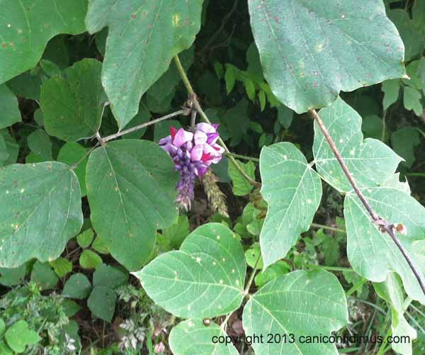
Kudzu flowers
There is a patch of kudzu growing across the street from one of our neighbors down on Fouche Gap Road. Now it has spread to the ditch in front of their house. I’m afraid it’s a mistake to allow that to happen.
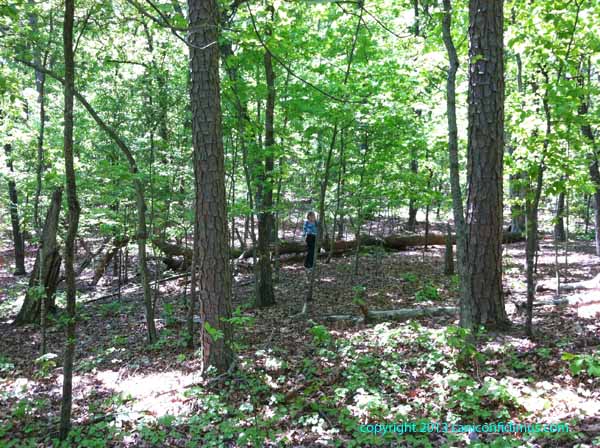
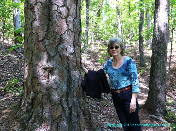
I am keeping an eye on the kudzu growing on the property next to our neighbors on the other side of Wildlife Trail. It has covered and killed several large trees, and it’s trying to send tendrils across Lavender Trail. That would put it in the yard of our neighbor on the other side of Lavender Trail. Our neighbor’s yard and Wildlife Trail serve as a firebreak, but I don’t entirely trust it.